SANDY LANE RELIEF ROAD – NORTHAMPTON

Our Projects
Become A Client
Become A Partner
Become An Employee

THE BRIEF

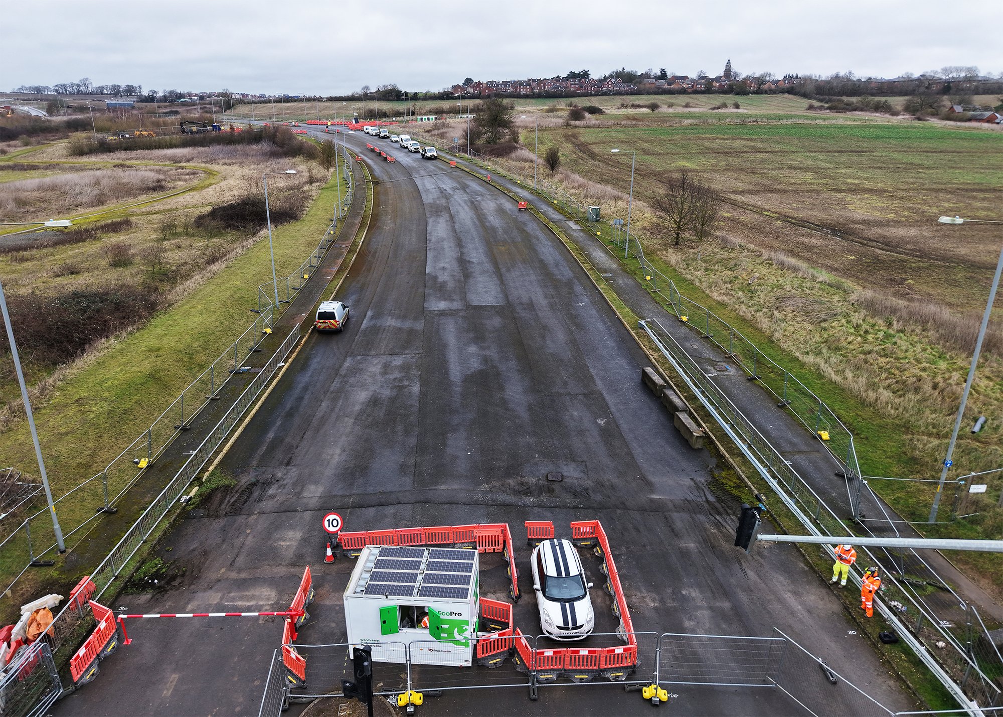
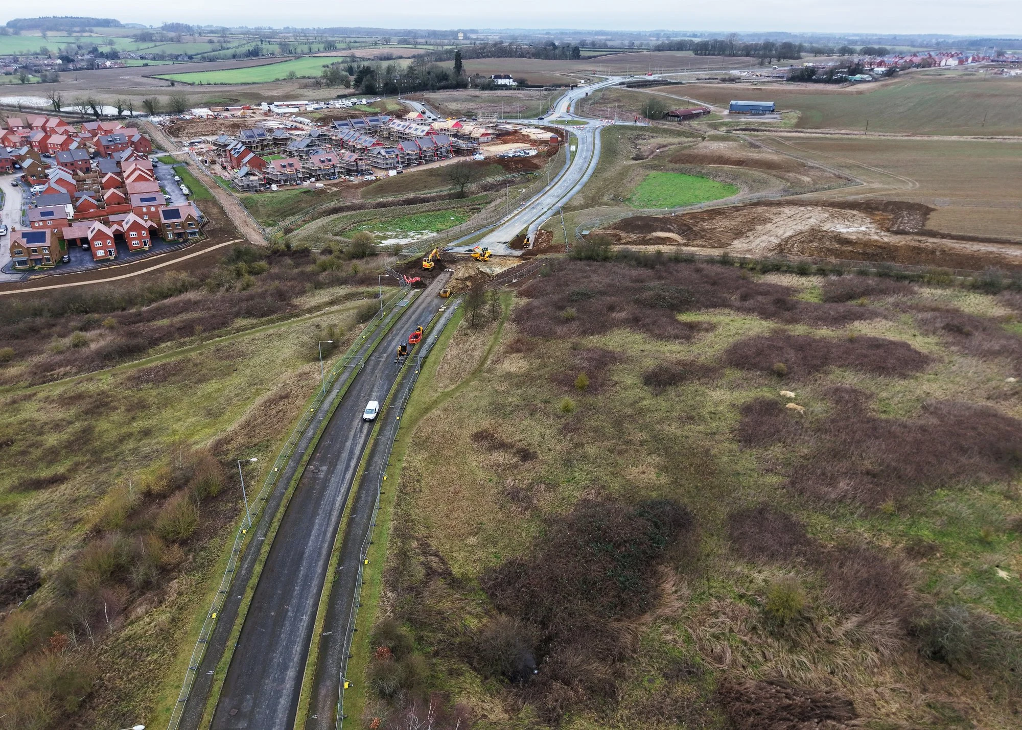
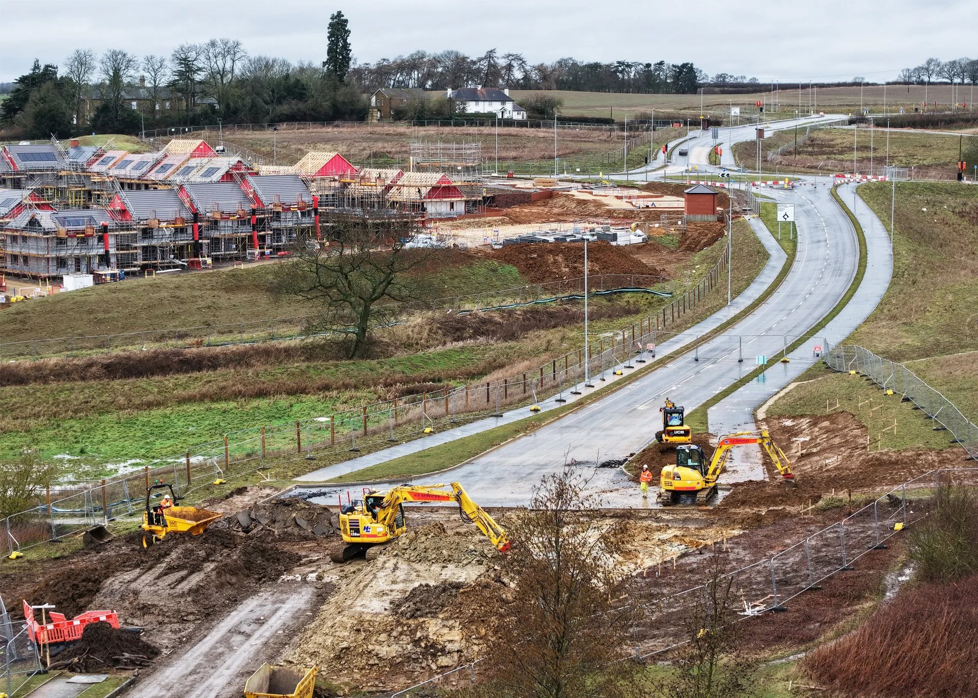
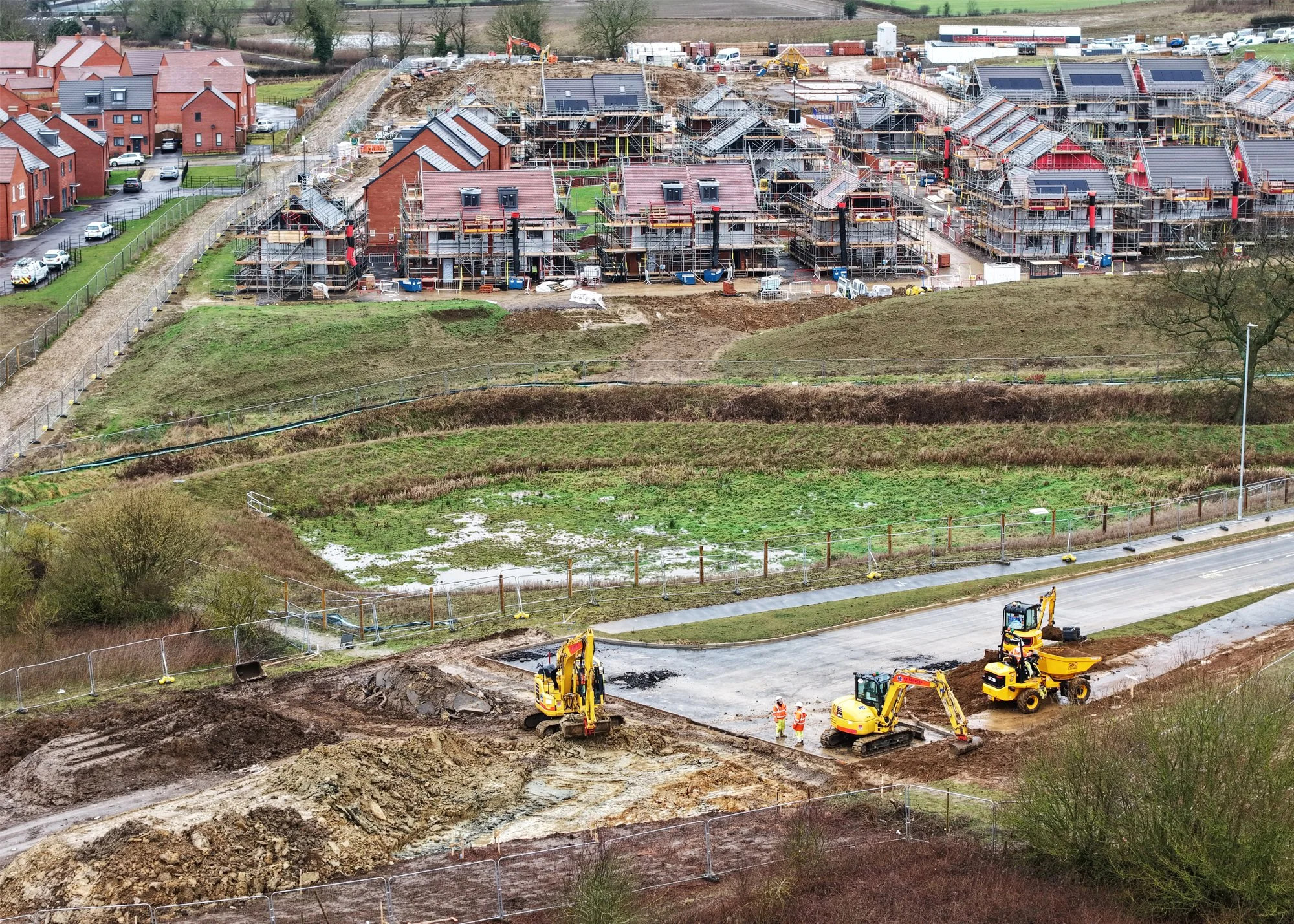
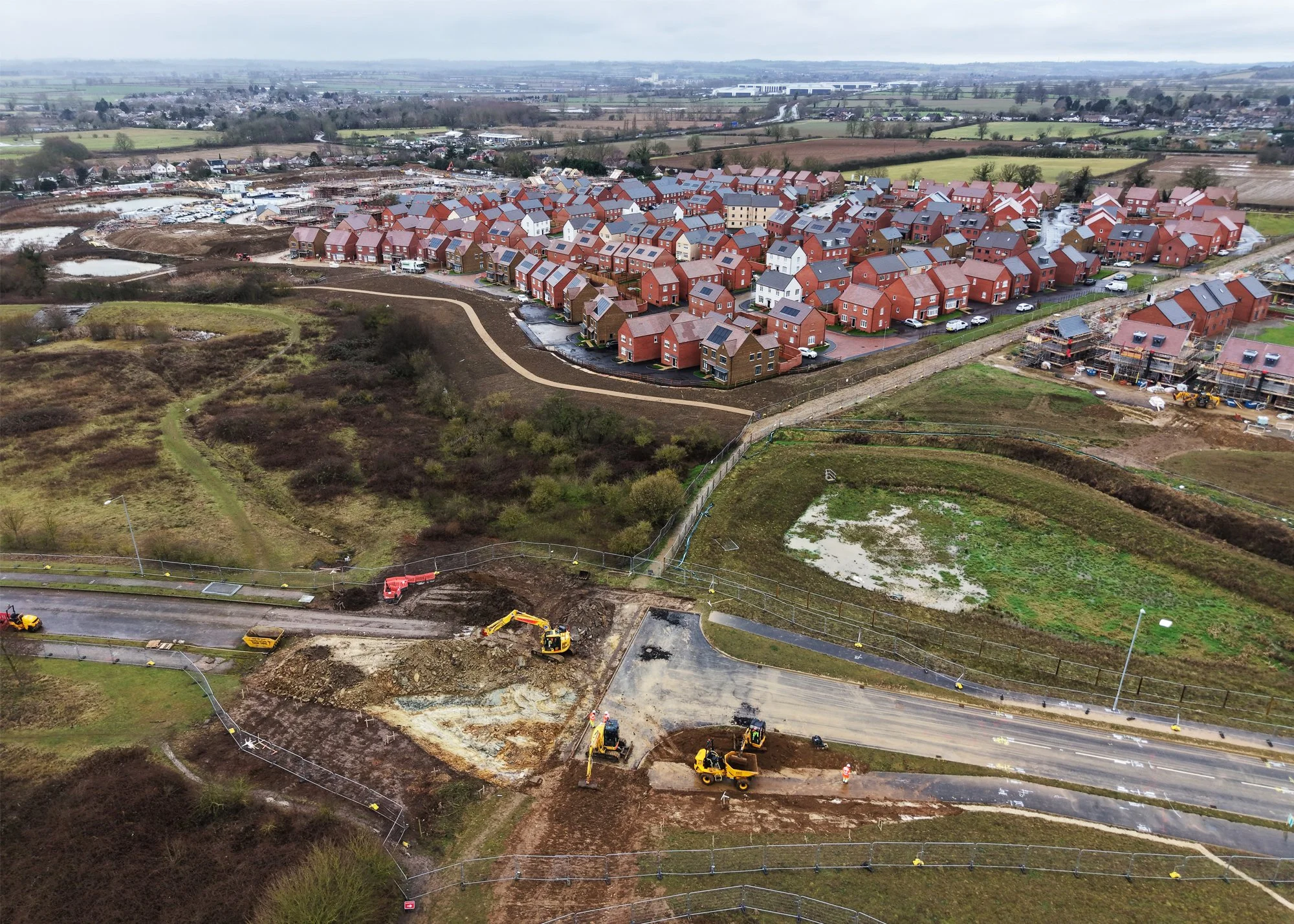
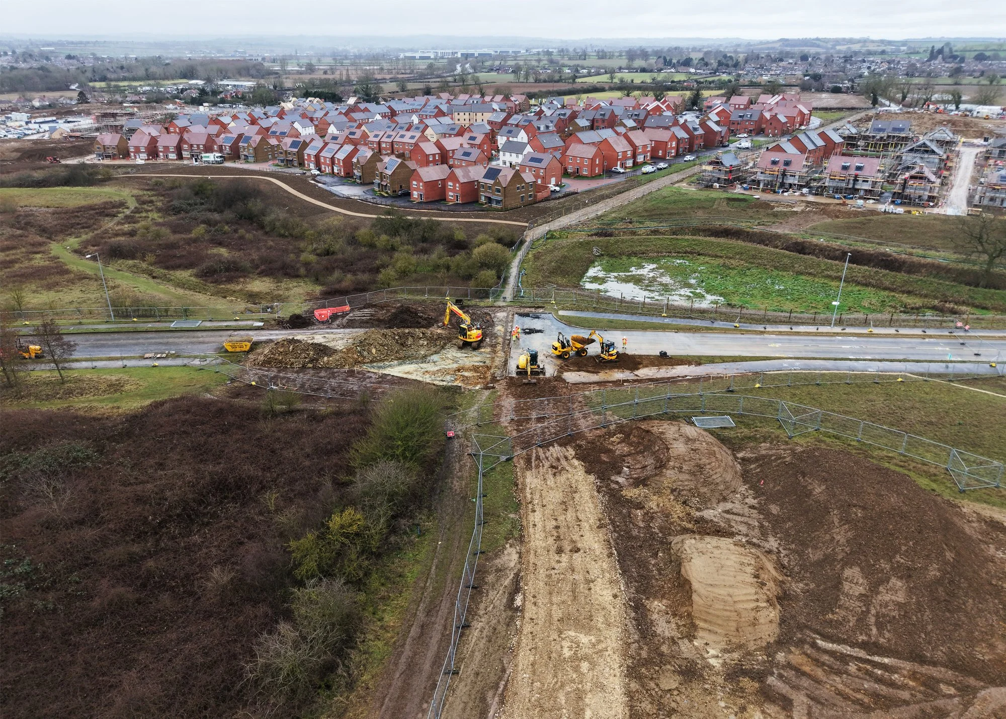
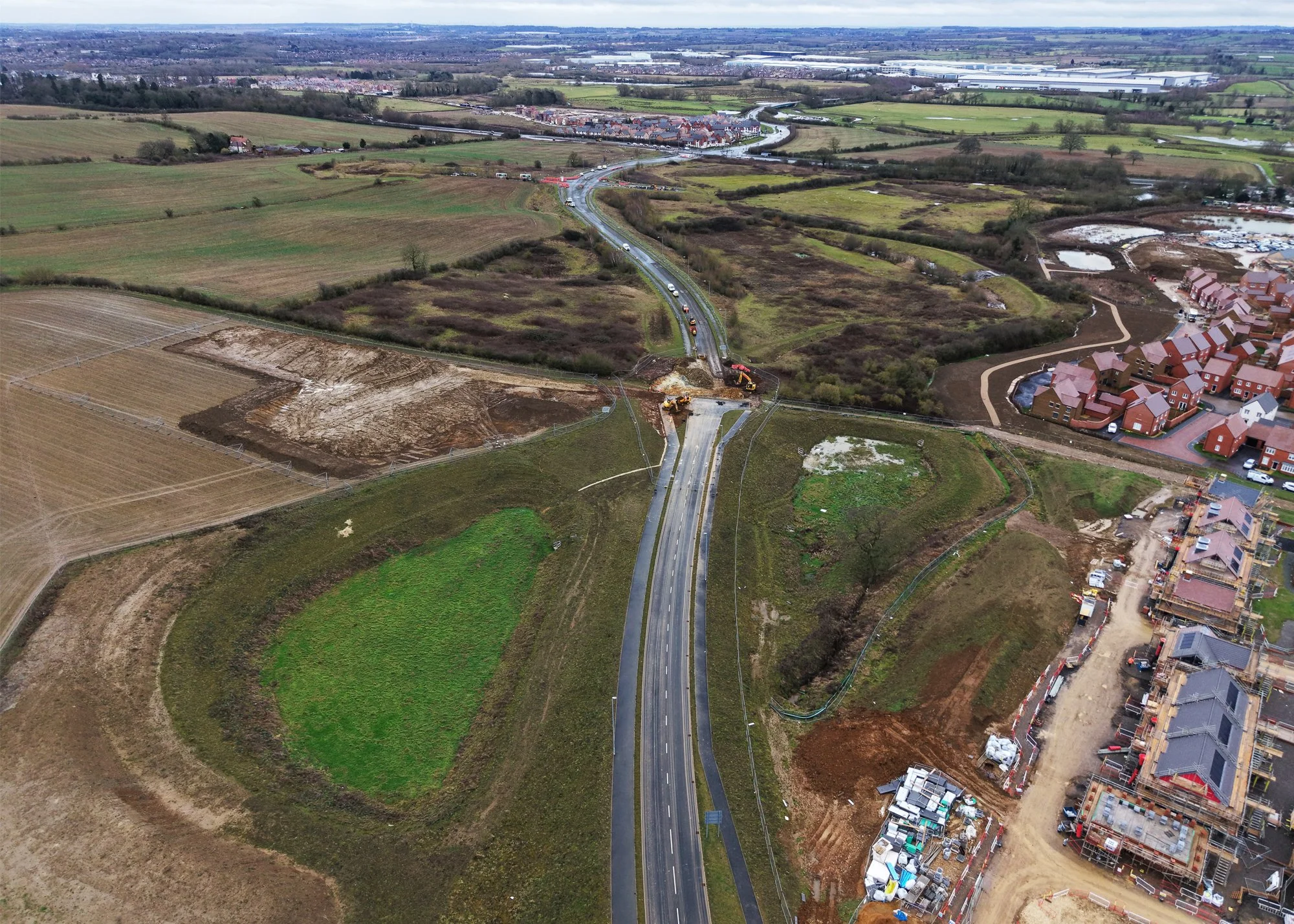
The Sandy Lane Relief Road (SLRR), located to the west of Northampton, was originally constructed around 14 years ago to support planned development between Berrywood Road in the north and the A4500 in the south. However, a substantial section was intentionally left incomplete which prevented the route from opening, leaving a long‑standing gap in a key strategic corridor.
As further phases of the SLRR progressed, completing this missing link became essential to easing congestion and improving connectivity for communities across Duston, Harpole and the wider west Northampton area.
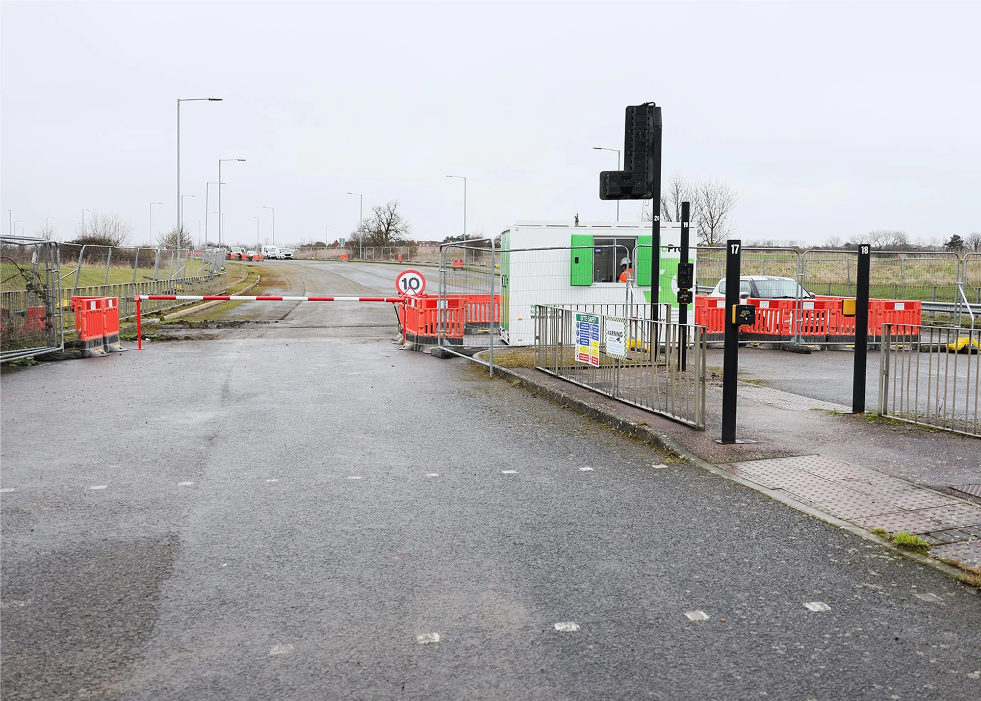
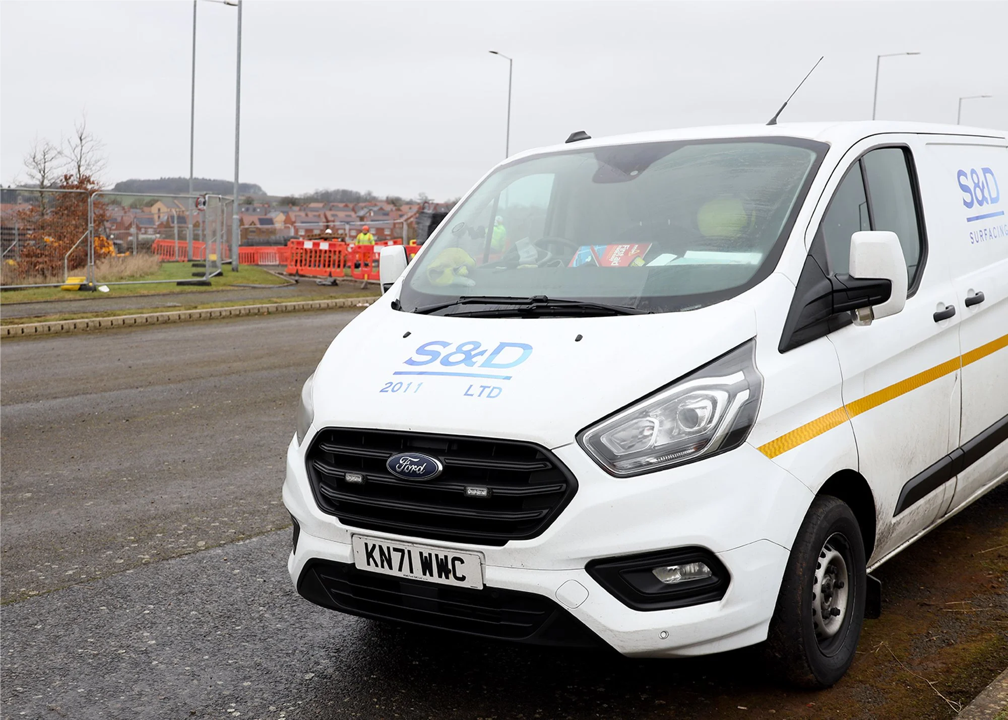
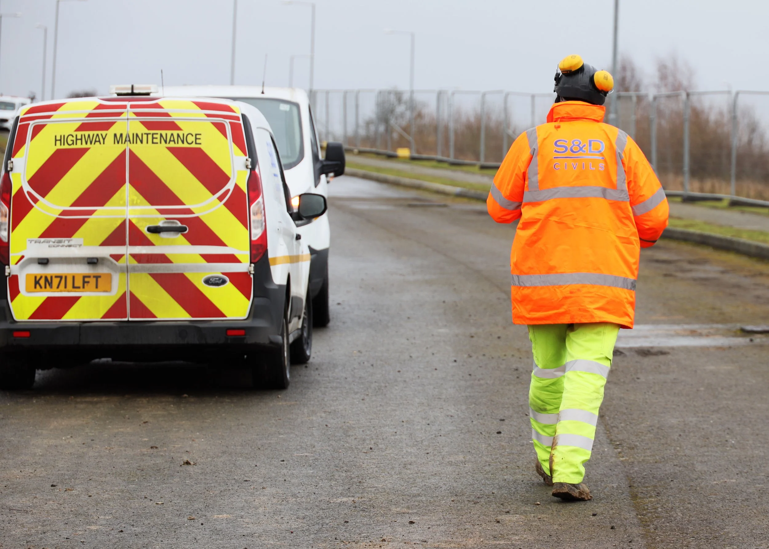
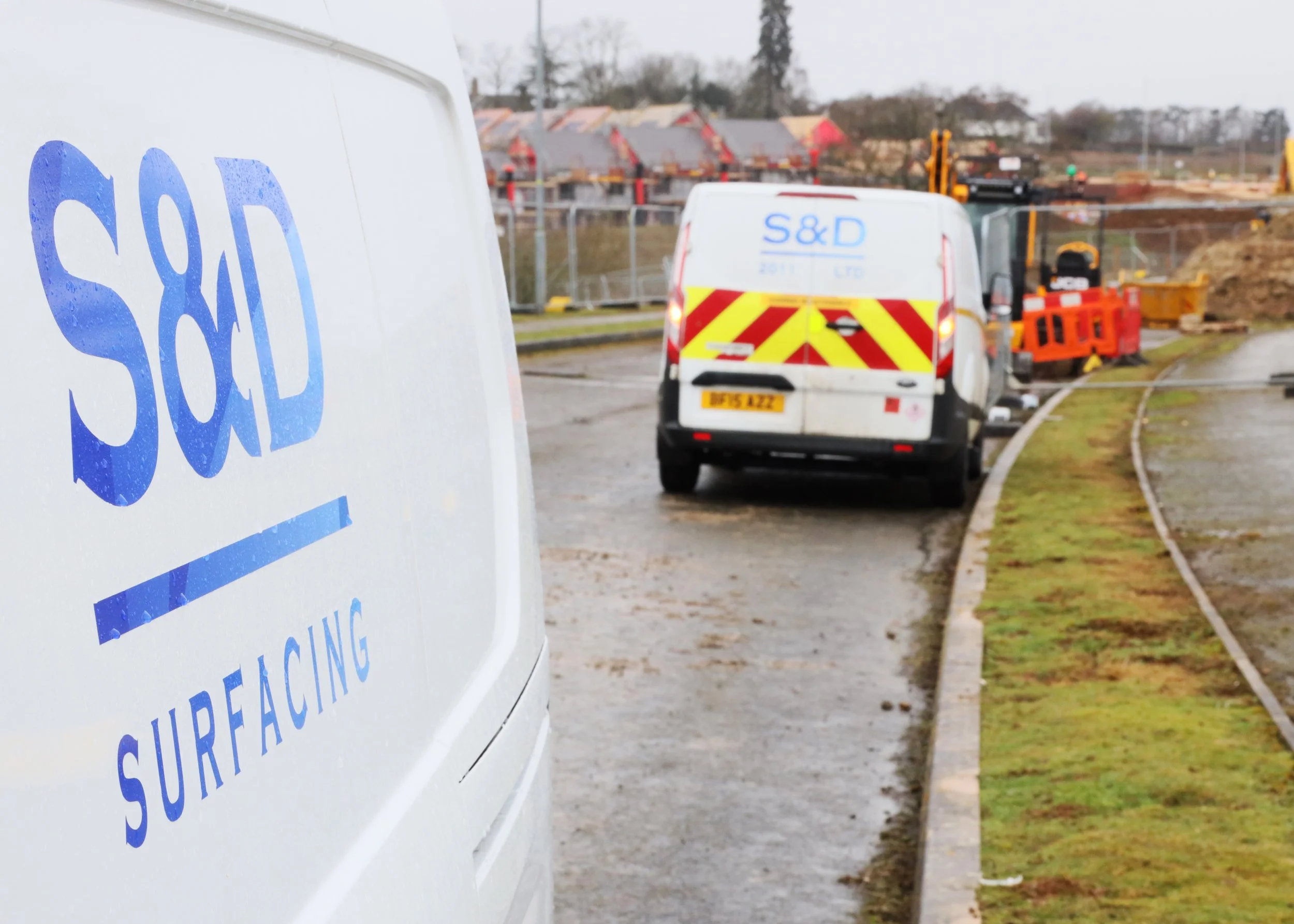
S&D were appointed to deliver the construction and installation works required to connect the two incomplete sections of road to full adoptable standards. The project would enable the long‑awaited opening of the route, which was later confirmed by West Northamptonshire Council in August 2025 (source: West Northamptonshire Council – https://www.westnorthants.gov.uk/news/sandy-lane-relief-road-opens-motorists)..

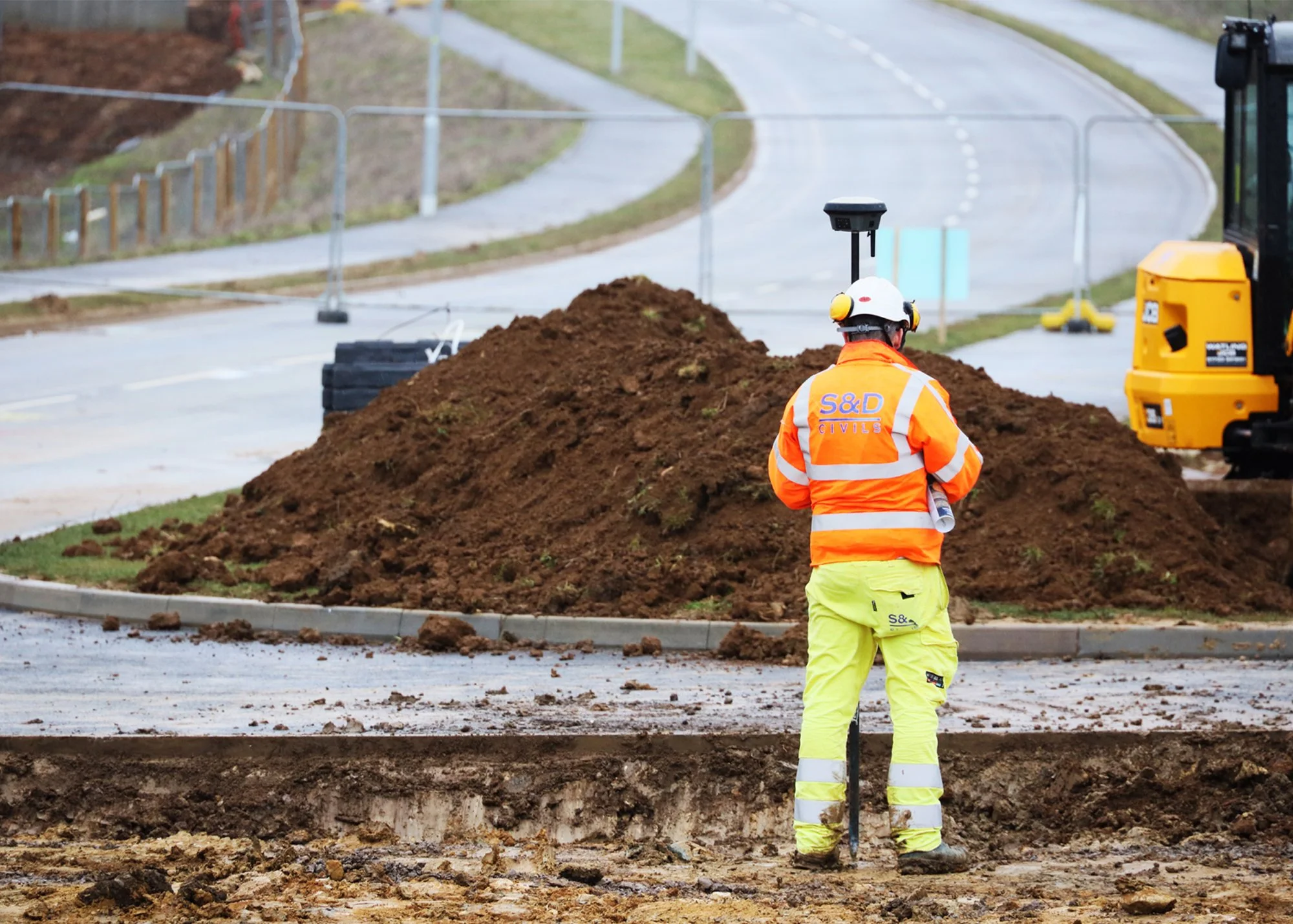
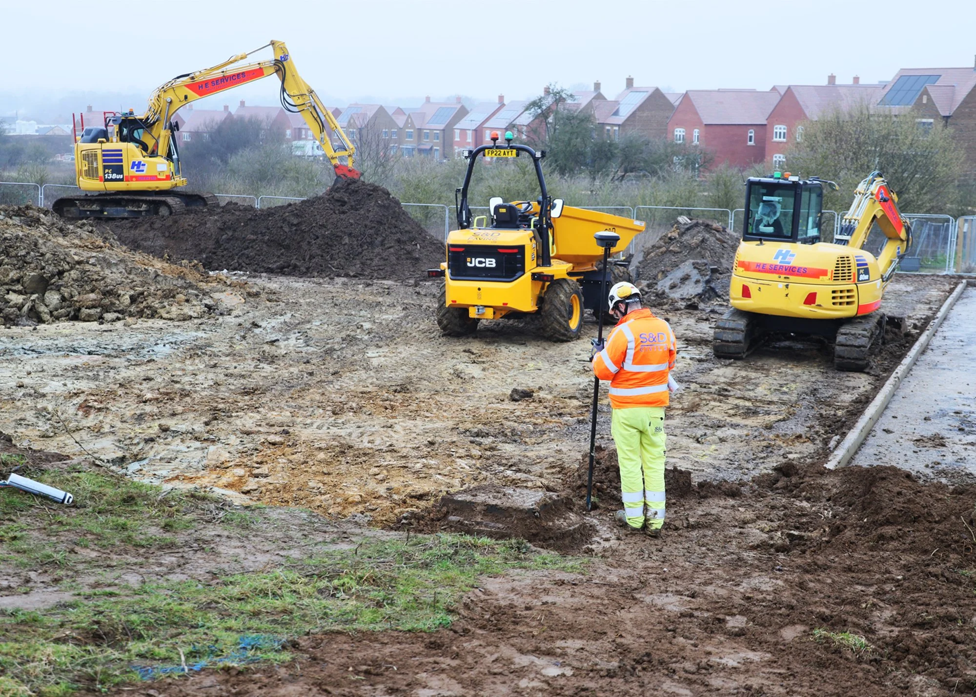
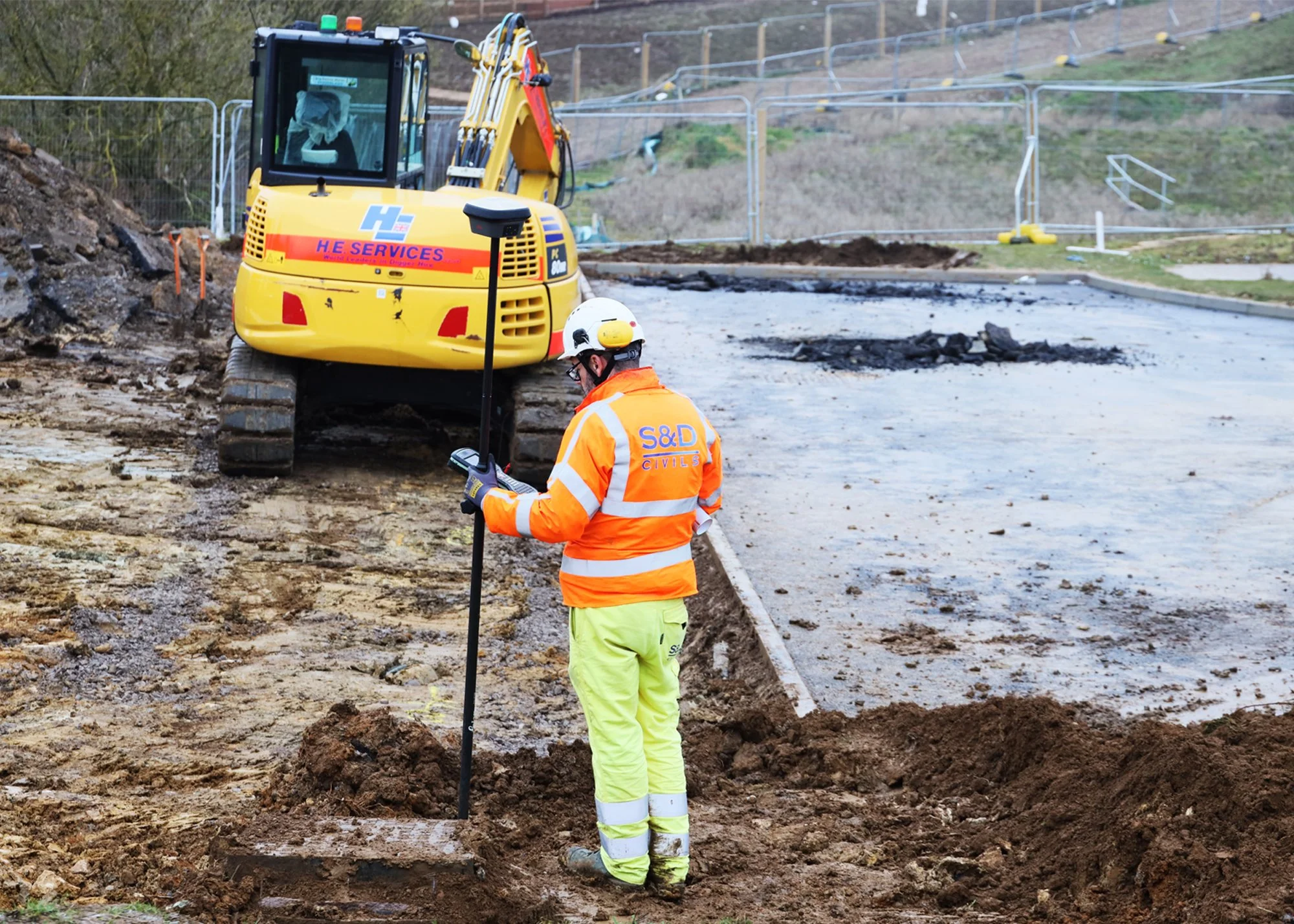
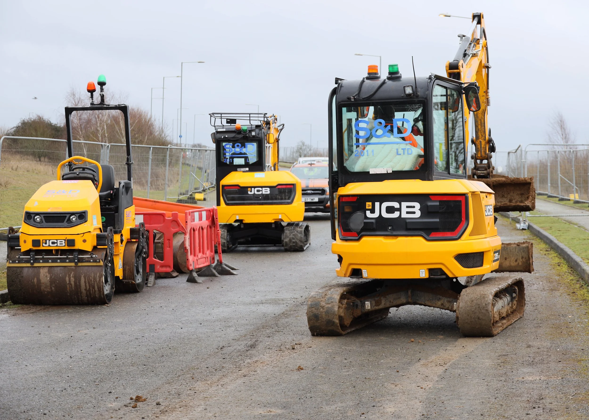
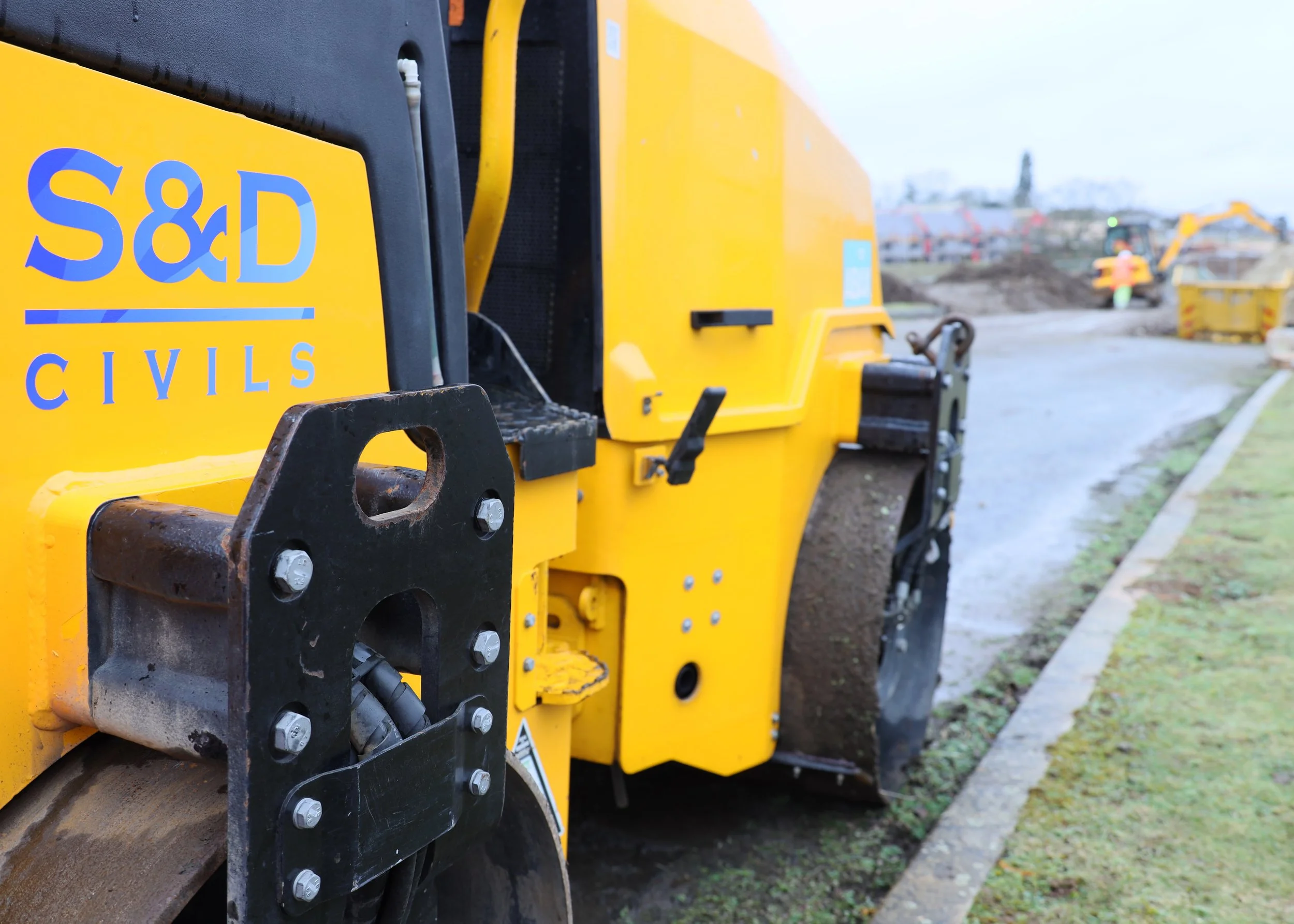
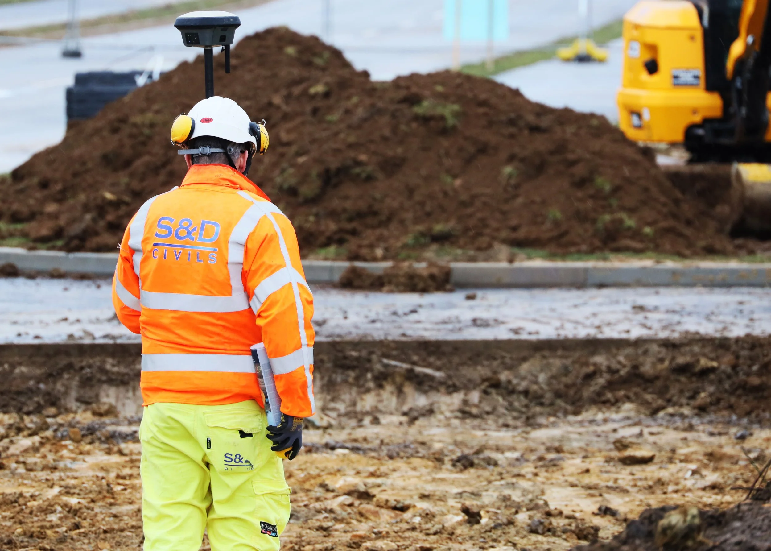
THE DELIVERY
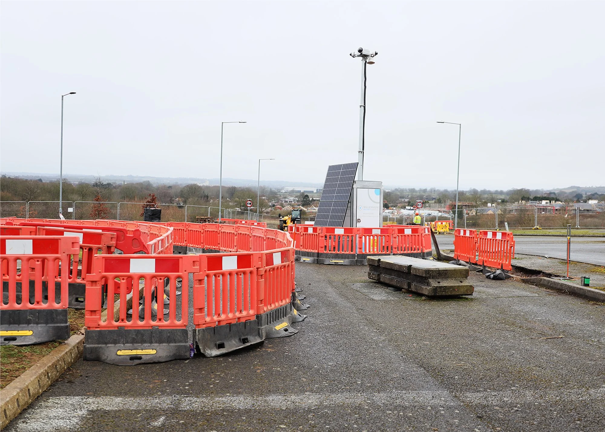
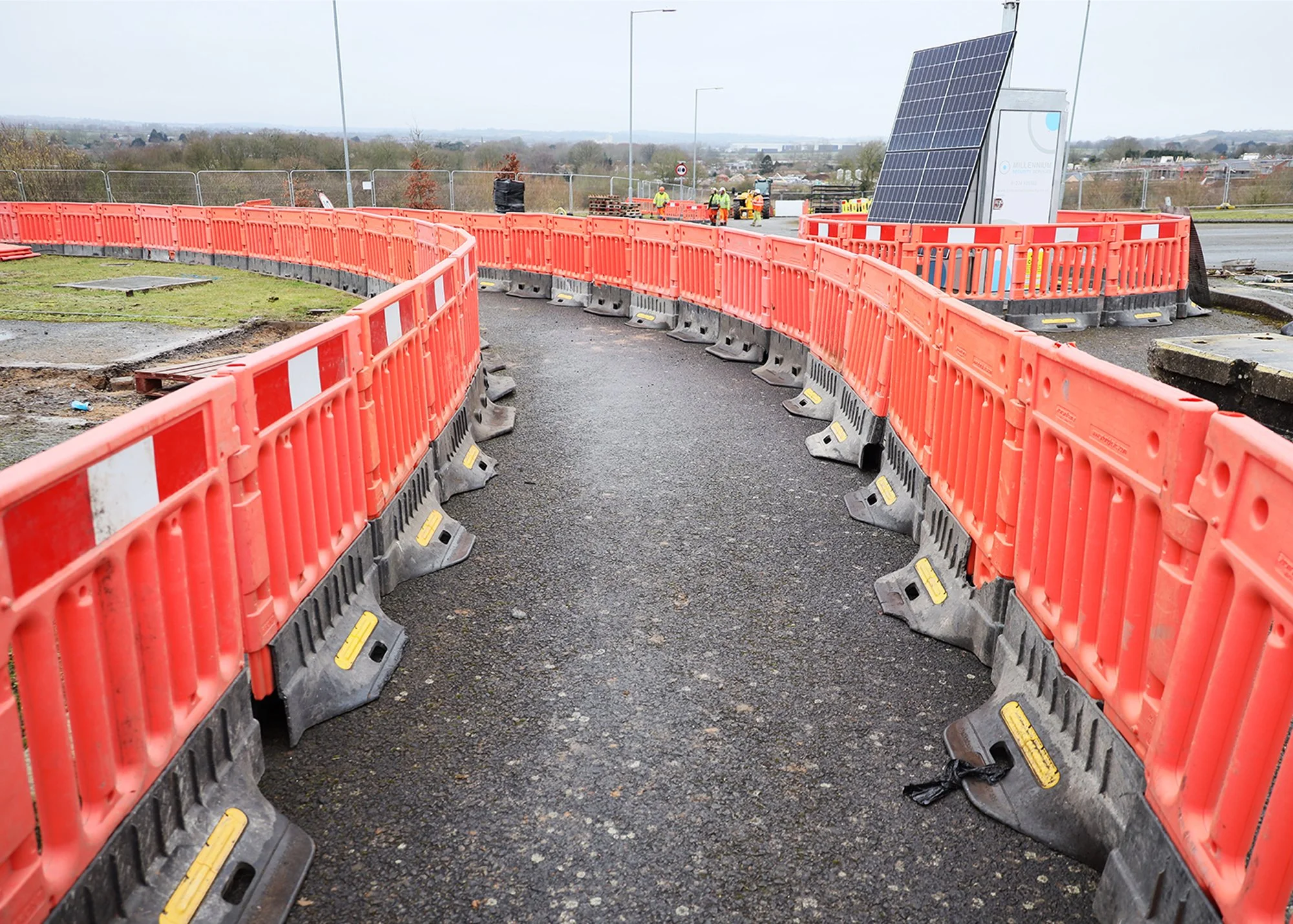
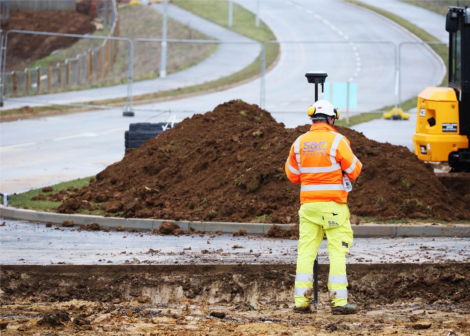
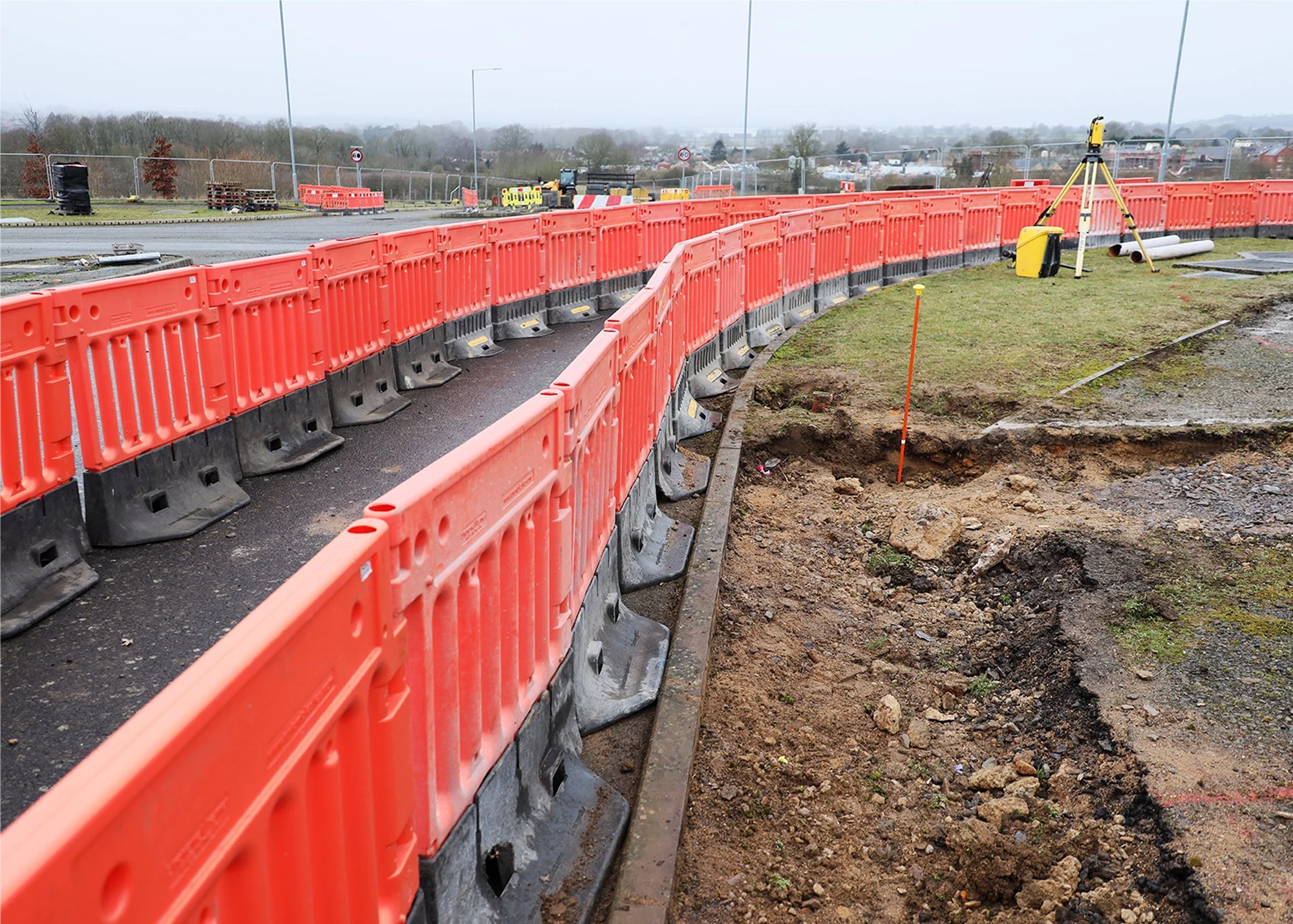
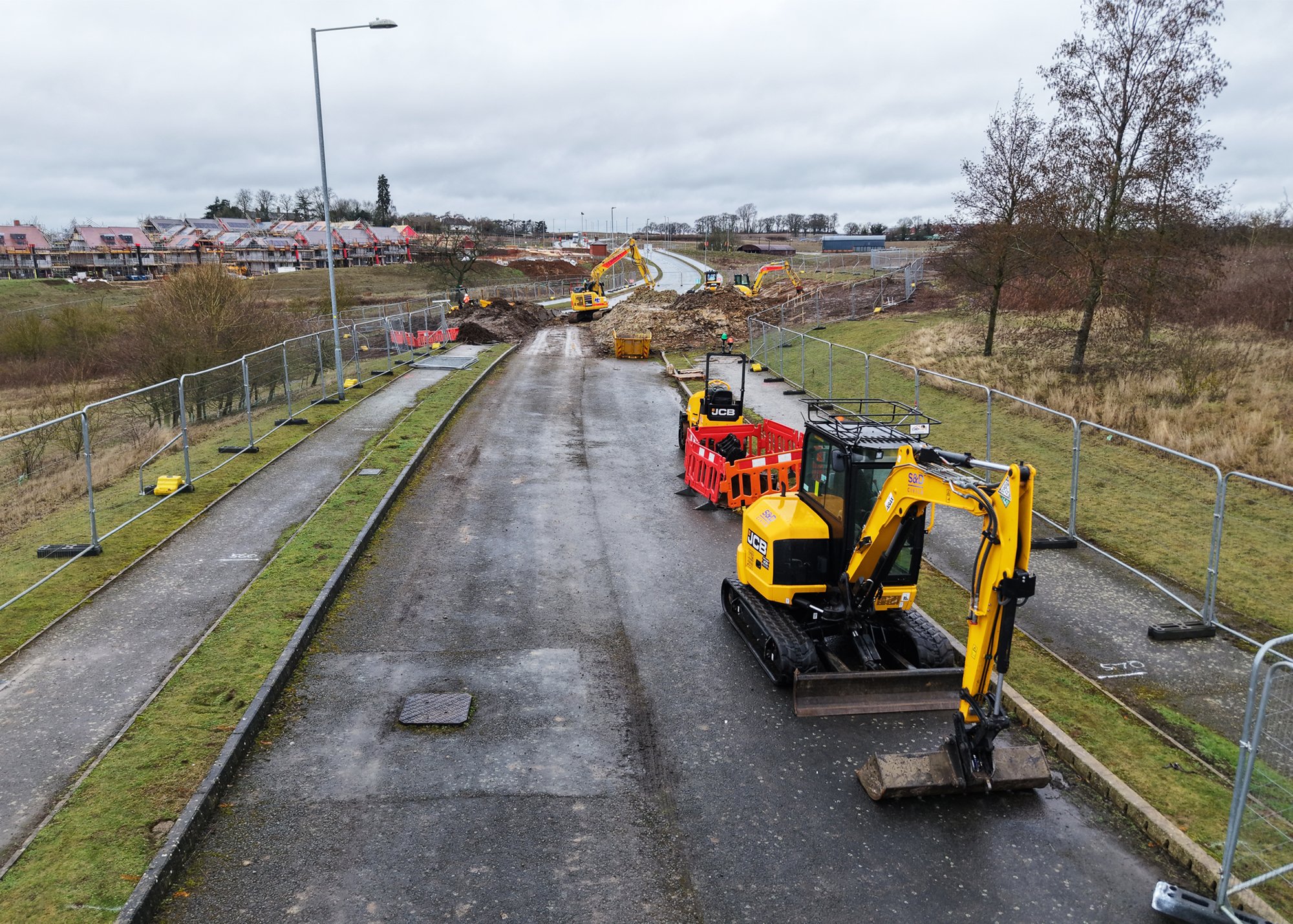
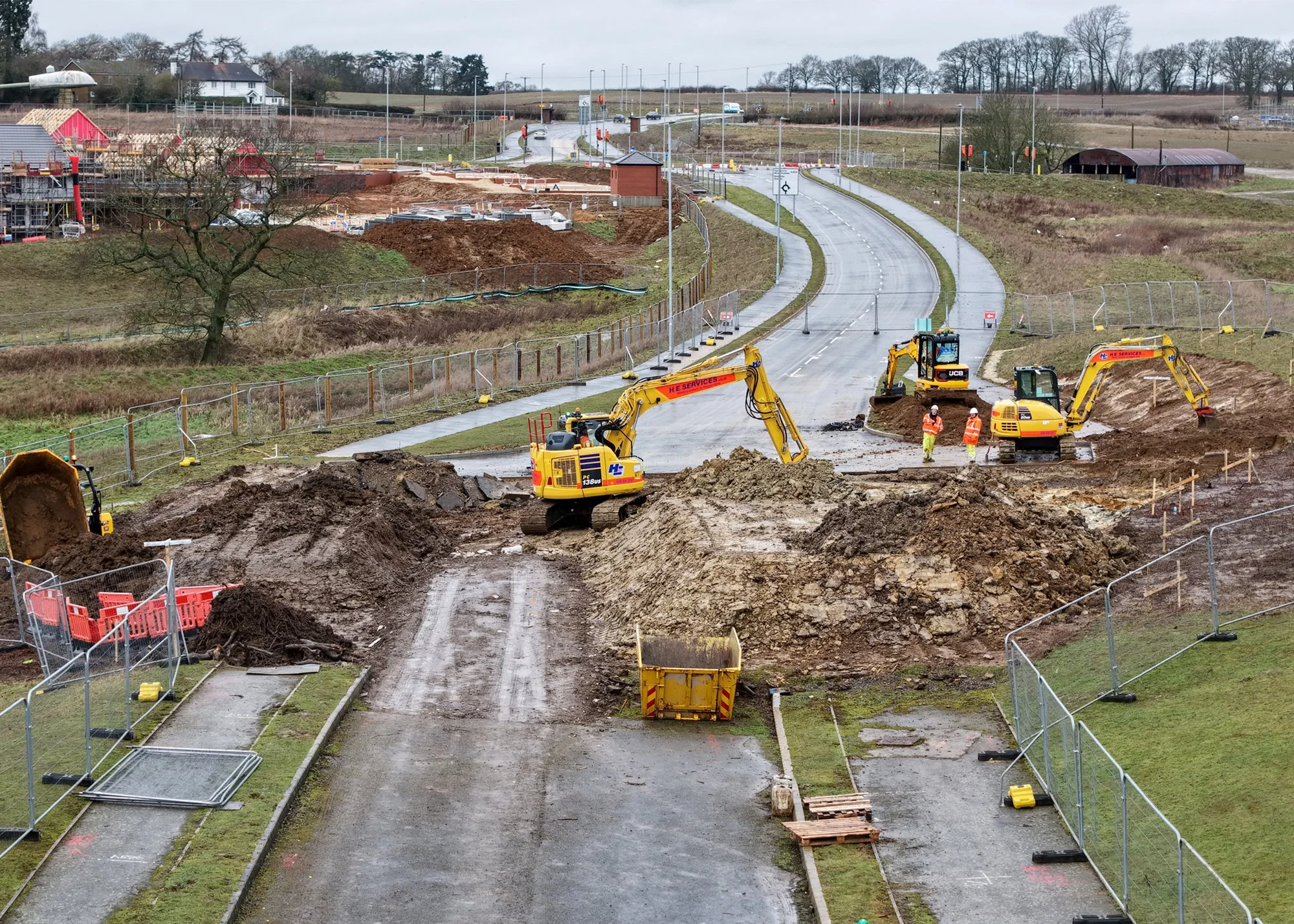
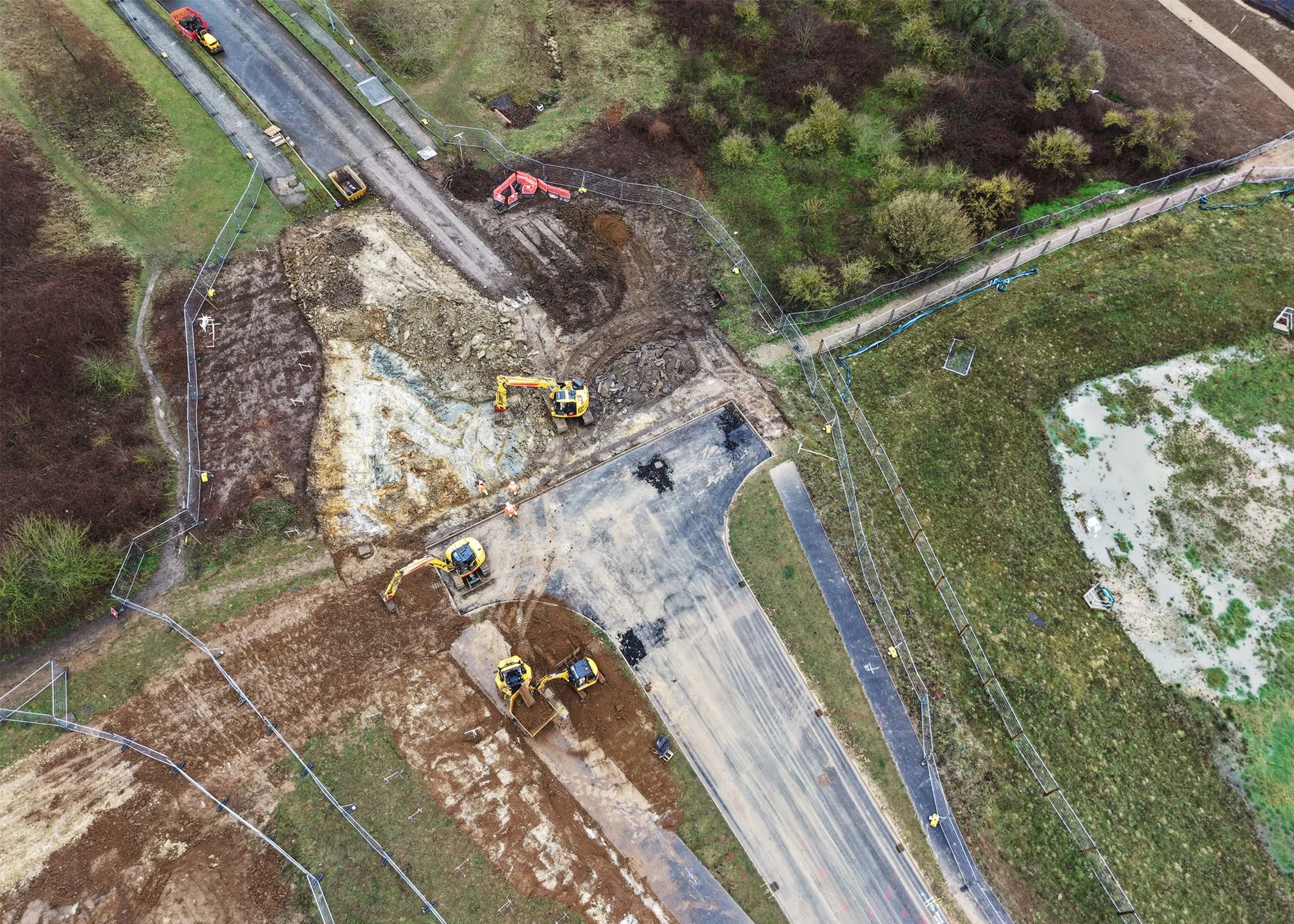
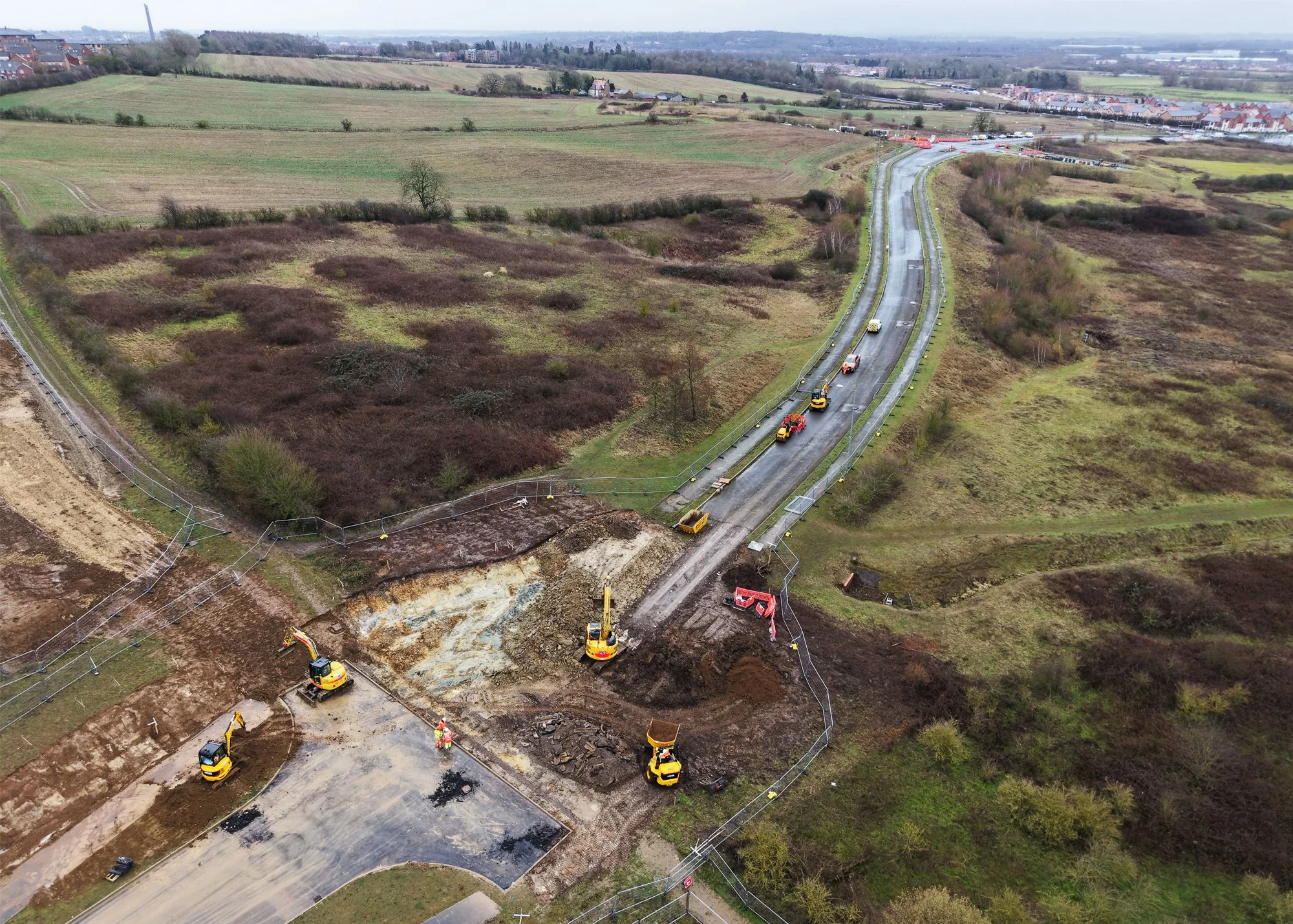
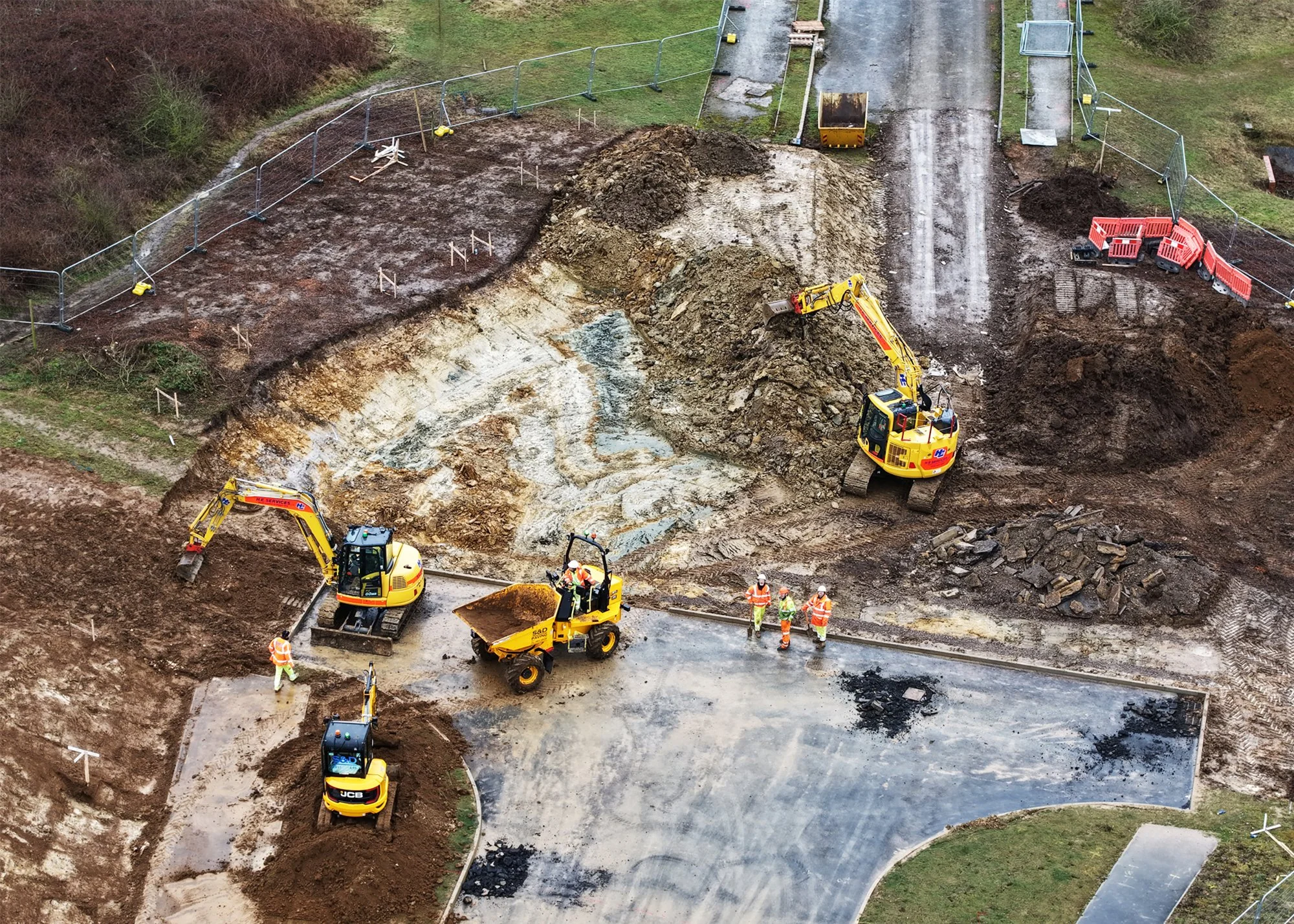
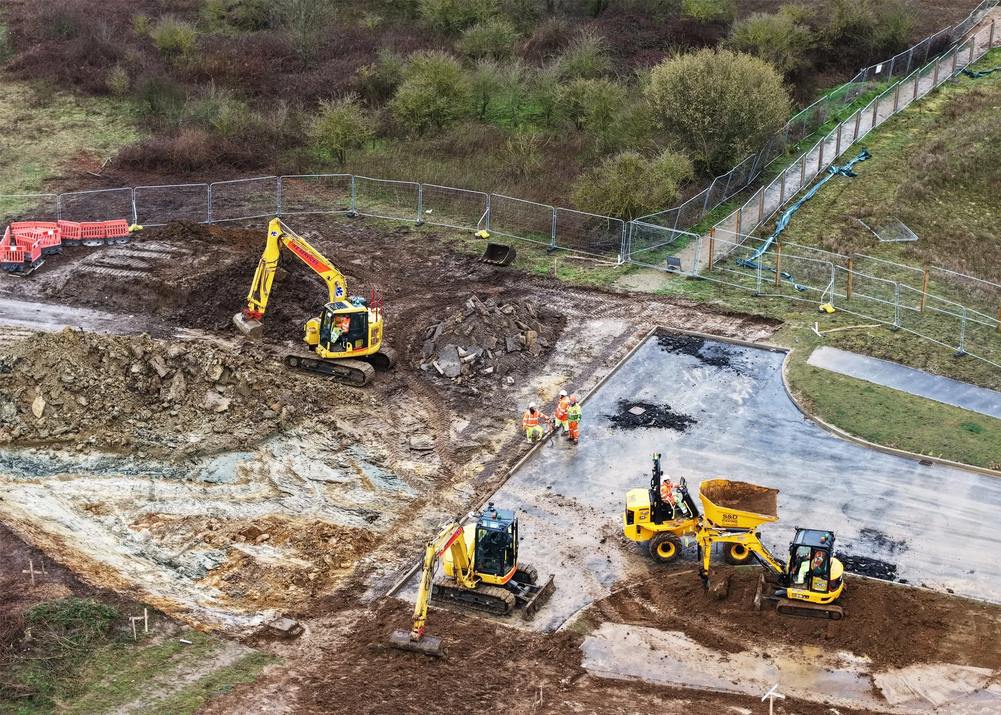
The works required a comprehensive programme of civil engineering, earthworks, drainage upgrades and highway construction to bring the missing link up to modern adoptable specification.
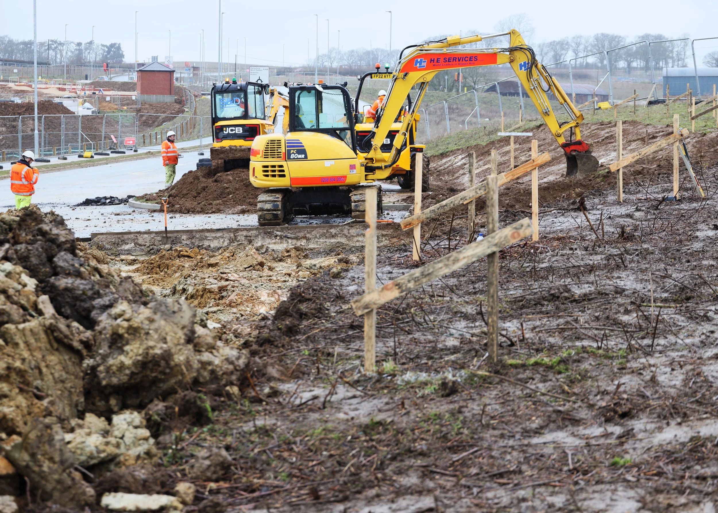
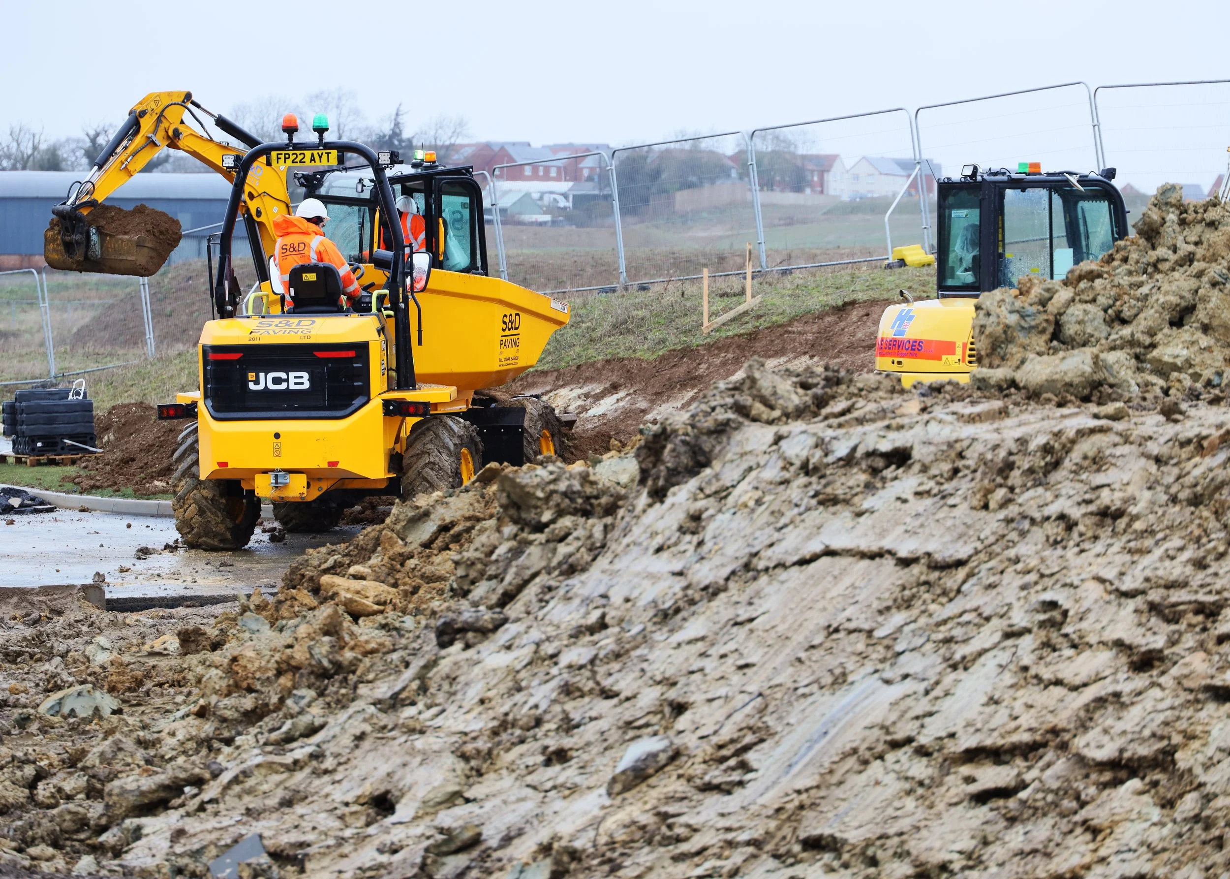
Site Preparation & Earthworks
Bulk earth moving and regrading to form new landscaped batters
Removal and disposal of contaminated subsoils
Ground stabilisation and formation of a structurally sound sub‑base
Active Travel & Crossing Infrastructure
A new Pegasus crossing was constructed at the link area, providing safe passage for horse riders, cyclists and pedestrians. Two new bridleways were also installed, improving access and supporting sustainable travel routes across the area.
Signage & Finishing Works
At the A4500 / Upton Valley Way North junction, S&D installed new highway warning signs, directional signage and advisory boards. All signage was mounted on reinforced concrete bases to ensure long‑term durability and compliance with adoptable standards.
Drainage & Utilities
Installation of new drainage systems
Refurbishment and modification of existing stormwater infrastructure
Ensuring continuity between the two previously disconnected road sections
Highway Construction
Sub‑base and hardfill preparation
Installation of kerbing, beanie blocks and tactile paving
Full pavement and carriageway surfacing
Road markings, safety features and street furniture
Active Travel & Crossing Infrastructure
A new Pegasus crossing was constructed at the link area, providing safe passage for horse riders, cyclists and pedestrians. Two new bridleways were also installed, improving access and supporting sustainable travel routes across the area.
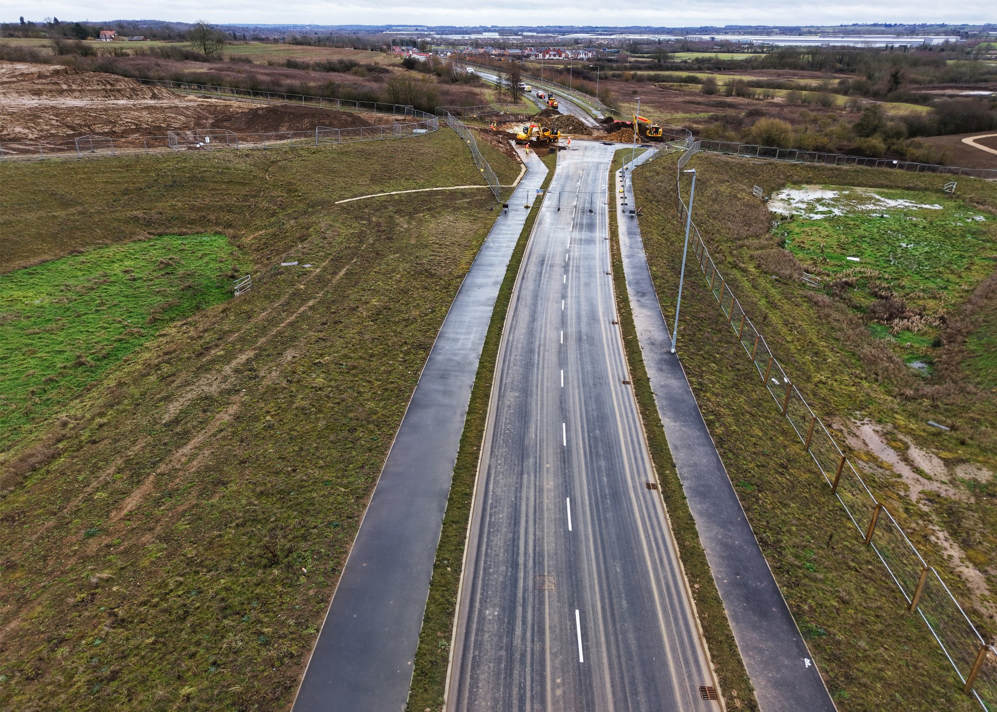
THE RESULT
The completion of the missing link enabled the Sandy Lane Relief Road to finally open to motorists, creating a vital new connection between Berrywood Road and the A4500. The project delivers:
Improved traffic flow and reduced congestion across west Northampton
A fully adoptable, modern section of highway built to current standards
Enhanced safety and accessibility through new bridleways and a Pegasus crossing
Stronger infrastructure supporting ongoing and future development in the area
The opening of the route was widely welcomed and covered by regional media, including the BBC (BBC News – https://www.bbc.co.uk/news/articles/cm2vv96qplyo), further highlighting the importance of the scheme to local communities.
CATEGORIES